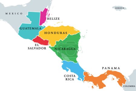
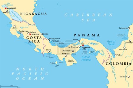
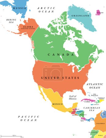
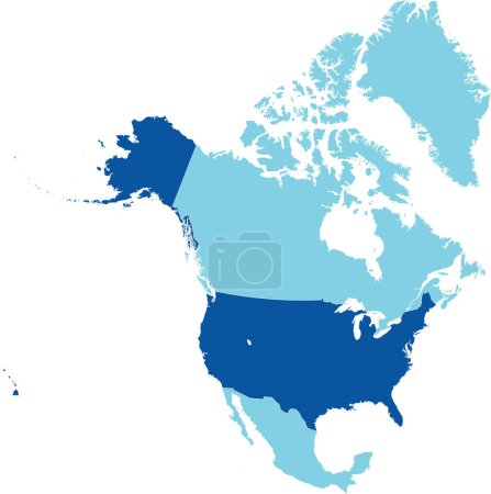
10953846 Mittelamerika / Karibik: Vektoren

Medien sortieren nach     Gehe zu Seite:    
« Vorherige  1  2  3  4  5  6  7  ...  182565  
Boy at beach
redskin
Mexico city Mayan pyramids
Silhouette of Mexico from binary digits
postcard Aloha Hawaii
Black gecko
I love Cancun
Central America - highly detailed map.
Political map of Latin America. Latin american states blue highlighted in the map of South America, Central America and Caribbean. Vector illustration
Highly detailed vector map of North and South America with each country fully customizable.
Caribbean islands Central America map, state names, separate states, card blue white 3D vector
Central America countries political map
Central America -highly detailed map.
central america map
Caribbean islands Central America map state names card colors 3D vector
Caribbean islands map Central America, state names card colors 3D vector
Set of glossy button flags -  North AND South America, Caribbean Islands, countries, Central America Islands.
Political Caribbean and Central America Map vector illustration with different colors for each country. Editable and clearly labeled layers.
Central America map - brown orange hue colored on dark background. High detailed political map Central American and Caribbean region with country, ocean and sea names labeling
Dominican Republic, official national waving flag, american country, vector illustration
Middle America political map
North and South America Global World
Central America and Carribean states political map. Yellow land with black country names labels on blue sea background. Simple flat vector illustration
Latin America subregions map
Greetings from San Juan vintage rusty metal plate on a white background, vector illustration
Central America countries, colored political map. Subregion of the Americas, between Mexico and Colombia, consisting of Belize, Guatemala, Honduras, El Salvador, Nicaragua, Costa Rica and Panama.
The Caribbean countries political map
Honduras Political Map
Caribbean islands Central America map, new political detailed map, separate individual states, with state names, isolated on white background 3D vector
Latin America regions political map
Belize Political Map
Central America map - 4 bright color scheme. High detailed political map Central American and Caribbean region with country, ocean and sea names labeling
Middle America political map
Honduras map
Costa Rica and Panama, political map, with the Isthmus of Panama and the Darien Gap. Narrow strip of land and region between the Caribbean Sea and the Pacific Ocean, linking North and South America.
Caribbean islands map with names vector
Nicaragua Political Map
Highly detailed physical map of Panama,in vector format,with all the relief forms,regions and big cities.
Panama Political Map
Central America map. High detailed political map Central American and Caribbean region with country, capital, ocean and sea names labeling
The Americas political map
North America countries, political map. Continent bordered by South America, Caribbean Sea, and by Arctic, Atlantic and Pacific Ocean. Canada, United States, Mexico, etc. Multi colored illustration.
Dark blue detailed blank political map of the UNITED STATES on transparent background using orthographic projection of the light blue North American continent
Set of 35 flags of America isolated on white background and map of America with countries situated on it.
Map of Cuba vector illustration, design. Icons with Cuban   landmarks, woman, cigars. Explore Cuba concept image
vector set of panorams countries of caribbean and Central America
The Americas, political map with single states in different colors. Countries of the Caribbean, of North, Central and South America. Silhouettes. Isolated illustration on white background. Vector.
Kids and nationalities of the world vector: America. Set of 25 characters dressed in different national costumes.
Map of Mexico with national borders, main cities and rivers
Central America map. High detailed political map Central American and Caribbean region with country, ocean and sea names labeling
Costa Rica vector flag with coat of arms. Central America country. Costa Rica flag vector and national coat of arms.
vector map of the Honduran Caribbean island of Utila, Honduras
Jamaica map flag glass card paper 3D vector
vector isolated flags of North America(include Central America and Caribbean countries)
Flag  The Bahamas brush stroke background.  Flag  Commonwealth of the Bahamas on transparent background for your web site design. EPS10.
Map of Central America and Caribbean. Handdrawn doodle style. Vector illustration
Panama map

« Vorherige  1  2  3  4  5  6  7  ...  182565