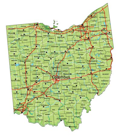
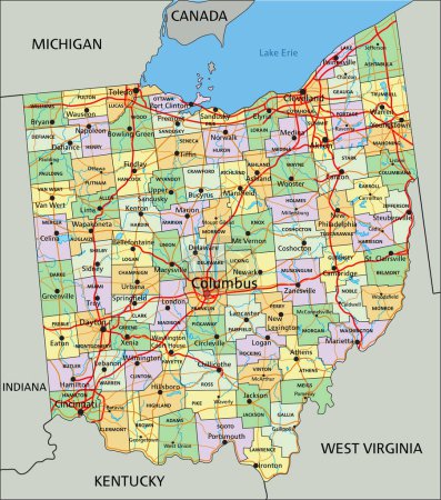
23 Vektoren zum Thema "Karte des Kreises Cleveland" bei ClipDealer

Medien sortieren nach     Gehe zu Seite:    
« Vorherige  1  Nächste »
vector map of United States with indication of Ohio
Map of Tennessee
Tennesy state detailed editable map
Ohio state detailed editable map
Ohio County Map
Ohio County Map
Tennessee County Map
Black map of Ohio
Ohio map shape, united states of america. Flat concept icon symbol vector illustration .
Vector set 4 of 10 Highly detailed silhouettes of US state maps, divided into counties with names and territory nicknames
Blue map of Ohio with indication of Columbus
outline of Ohio map- vector illustration
blue abstract outline of Ohio map
Ohio USA state map vector tag cloud illustration
High detailed Ohio physical map with labeling.
Oklahoma, U.S. state, subdivided into 77 counties, multi colored political map with capital Oklahoma City, borders and county names. State in the South Central region of United States. Native America.
Ohio - Highly detailed editable political map with labeling.
Oklahoma, U.S. state, gray political map with borders and county names. State in the South Central region of USA, subdivided into 77 counties. Native America, Land of the Red Man, and Sooner State.
Ohio map shape, united states of america. Flat concept icon symbol vector illustration .
Oklahoma, U.S. state, political map with borders and county names. State in the South Central region of the USA, subdivided into 77 counties. Native America, Land of the Red Man, and Sooner State.
Ohio map shape, united states of america. Flat concept icon symbol vector illustration .
High detailed Ohio physical map.

« Vorherige  1  Nächste »