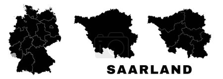
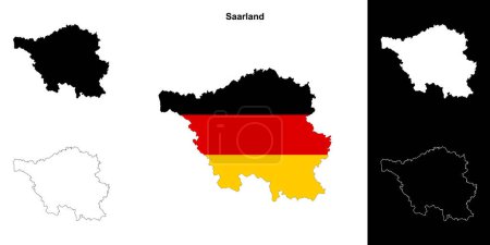
14 Vektoren zum Thema "Saarland border map" bei ClipDealer

Medien sortieren nach     Gehe zu Seite:    
« Vorherige  1  Nächste »
Saarland blank outline map set
Saarland state map. Vector illustration.
Saarland, Germany
administrative and political vector  map of Germany, newly revised 2019
administrative and political map of Germany newly revised 2019 in black and white
map of germany with all cities over one hundred thousand inhabit
The Saarland isolated map divided in districts, Germany
The detailed map of the Germany with regions
Map of the state of Saarland with the most important cities
Vector administrative map of Federal Republic of Germany with the flags of the federal states
Saarland state map, Germany, vector map silhouette illustration isolated on Germany map. Editable blank vector map. Province in Germany.
Blank Germany map vector silhouette illustration isolated on black background. Deutschland autonomous communities. High detailed Germany map regions administrative divisions, separated provinces map.
Saarland map, German state. Germany administrative division, regions and boroughs, amt and municipalities.
Saarland state outline map set

« Vorherige  1  Nächste »