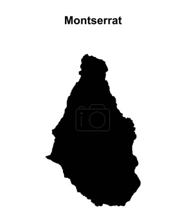
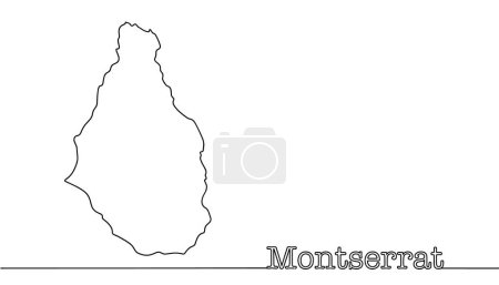
32 Vektoren zum Thema "montserrat map" bei ClipDealer

Medien sortieren nach     Gehe zu Seite:    
« Vorherige  1  Nächste »
Montserrat map
Stylized vector Montserrat map.  Infographic 3d gold map illustration with cities, borders, capital, administrative divisions and pointer marks, shadow; gradient background.
Montserrat blank outline map design
Montserrat blank outline map set
State borders of Montserrat. An overseas territory of Great Britain, located on the island of the same name. A simple hand-drawn map.
Caribbean geography map
Vector maps set.  High detailed 23 maps of North American
Latin, Caribbean, North and South American country regions' maps
Montserrat infographics, statistical data, sights
vector illustration of North and South America map with country names and flags of countries
Saint Kitts, Nevis, Antigua, Barbuda and Montserrat political map
Antigua and Barbuda Political Map
Pinned countries flags on map of Caribbean
Map of leeward islands, Caribbean island group
Leeward Islands, political map. Part of the Lesser Antilles, north of Windward Islands in the Caribbean. Virgin Islands, Anguilla, St Kitts and Nevis, Antigua and Barbuda, Montserrat, and Guadeloupe.
Lesser Antilles political map
Caribbean - Large And Lesser Antilles - Political Map
vector illustration of North America map (include Northern America, Central America and Caribbean regions) with country names and flags of countries.
Stickers in form of Montserrat
vector illustration of North and South America map with country names and flags of countries
Montserrat map vector
Lesser Antilles, Haiti, Dominican Republic
vector isolated flags of North America(include Central America and Caribbean countries)
Montserrat map colored with flag colors. Map of Montserrat with the flag isolated on white background. British Overseas Territory, United Kingdom, UK. Vector illustration.image description
Lesser Antilles political map
shiny icon in form of Montserrat
vector flags and maps of North American countries
Eastern Caribbean islands, gray political map. Puerto Rico, Virgin Islands, Leeward and Windward Islands, and part of the Leeward Antilles north the coast of Venezuela, located in the Caribbean Sea.
From Anguilla to Montserrat, gray political map. Caribbean islands, part of Leeward Islands and Lesser Antilles. Anguilla, Saint Martin, Saint Kitts and Nevis, Antigua and Barbuda, and Montserrat.
Locator map showing the location of the country Montserrat in North America. The country is highlighted with a red polygon. Small countries are also marked with a red circle. The map shows yellow land areas, blue sea, state borders and a blue grid li
Volcanoes of the Caribbean islands, political map. Map of crescent-shaped island arc of Lesser Antilles, showing potentially active volcanoes, of which the best known is Mount Pelee in Martinique.
Eastern Caribbean islands, political map. Puerto Rico, Virgin Islands, Leeward and Windward Islands, and part of the Leeward Antilles north the coast of Venezuela, all located in the Caribbean Sea.

« Vorherige  1  Nächste »