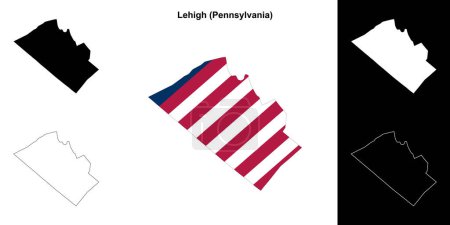
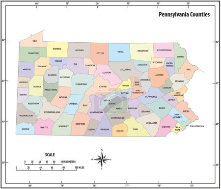
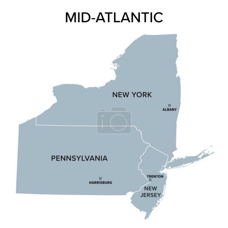
40 Vektoren zum Thema "pennsylvania administrative" bei ClipDealer

Medien sortieren nach     Gehe zu Seite:    
« Vorherige  1  Nächste »
Pennsylvania counties vector map with USA map colors national flag
Pennsylvania map
Pennsylvania map
New York city detailed editable map
Map of the United States of America
Pennsylvania administrative and political vector map
Vector posters with highly detailed silhouettes of maps of the s
Ohio administrative and political vector map with flag
Map of the United States of America
New York state detailed editable map
New York - Pennsylvania - New Jersey - Delaware - Maryland Map l
map of the city of Philadelphia, Pennsylvania, USA
Modern City Map - Pittsburgh Pennsylvania city of the USA with neighborhoods and titles
Set 1 of 5 Highly detailed vector silhouettes of USA state maps
map of the city of Philadelphia, Pennsylvania, USA
Set 1 of 5 Division United States into counties, political and geographic subdivisions of a states, Highly detailed vector maps with names and territory nicknames
illustration map of the city of Philadelphia, Pennsylvania, USA
pennsylvania state outline administrative and political vector map in black and white
map of the agglomeration Washington, New York City Philadelphia, Boston, Baltimore, USA
map of the city of Philadelphia, Pennsylvania, USA
Administrative vector map of the US Census Region Northeast
map of the city of Philadelphia, Pennsylvania, USA
Highly detailed vector silhouettes of US state maps, Division United States into counties, political and geographic subdivisions of a states, Mid-Atlantic - Pennsylvania, New Jersey, New York - set 3 of 17
Vermont - New York - Pennsylvania - New Jersey Map labelled blac
Lehigh County (Pennsylvania) outline map set
pennsylvania state outline administrative and political vector map in color
United States and Canada political map of administrative divisions. Blank colorful vector map.
Mid-Atlantic, or Middle Atlantic states, gray political map, with capitals. United States Census division of the Northeast region, consisting of the states New Jersey, New York and Pennsylvania.
Pennsylvania - Maryland - Delaware - Virginia - North and South
United States and Mexico political map of administrative divisions. Blank vector map
Berks County (Pennsylvania) outline map set
United States and Mexico political map of administrative divisions. Blank black outline vector map
Pennsylvania state outline map set
Bedford County (Pennsylvania) outline map set
Crawford County (Pennsylvania) outline map set
Chester County (Pennsylvania) outline map set
United States and Canada political map of administrative divisions. Colorful vector map with labels.
Mc Kean County (Pennsylvania) outline map set

« Vorherige  1  Nächste »