
Video Footage Clip - Gesund leben 
Media-ID: 439178
Nutzungsrecht: Kommerzielle und redaktionelle Nutzung
Gesund leben
| Vorschau | 402x226 |
Varianten
Mediainfos
Storyboard
|
Dieses Video mit unserem Kundenkonto ab $6.53 herunterladen!
|
||||
| Varianten: MP4, H.264 25fps | ||||
| Format | Auflösung | Netto | Brutto | Preis |
| HD 1080 | 1920x1080 | ($109.43) | ($117.09) | |
| Merchandisinglizenz: MP4, H.264 25fps | ||||
| Format | Auflösung | Netto | Brutto | Preis |
| HD 1080 | 1920x1080 | ($267.83) | ($286.58) | |
| Media-ID: | 439178 |
| Hinzugefügt am: | May 05, 2010 03:47:41 PM |
| Aufrufe: | 1388 |
| Länge: | 15.08 Sekunden |
| Audio-Spur: | nein |
| Kamera Marke: | |
| Kamera Modell: | |
| Kategorie: | Sport |
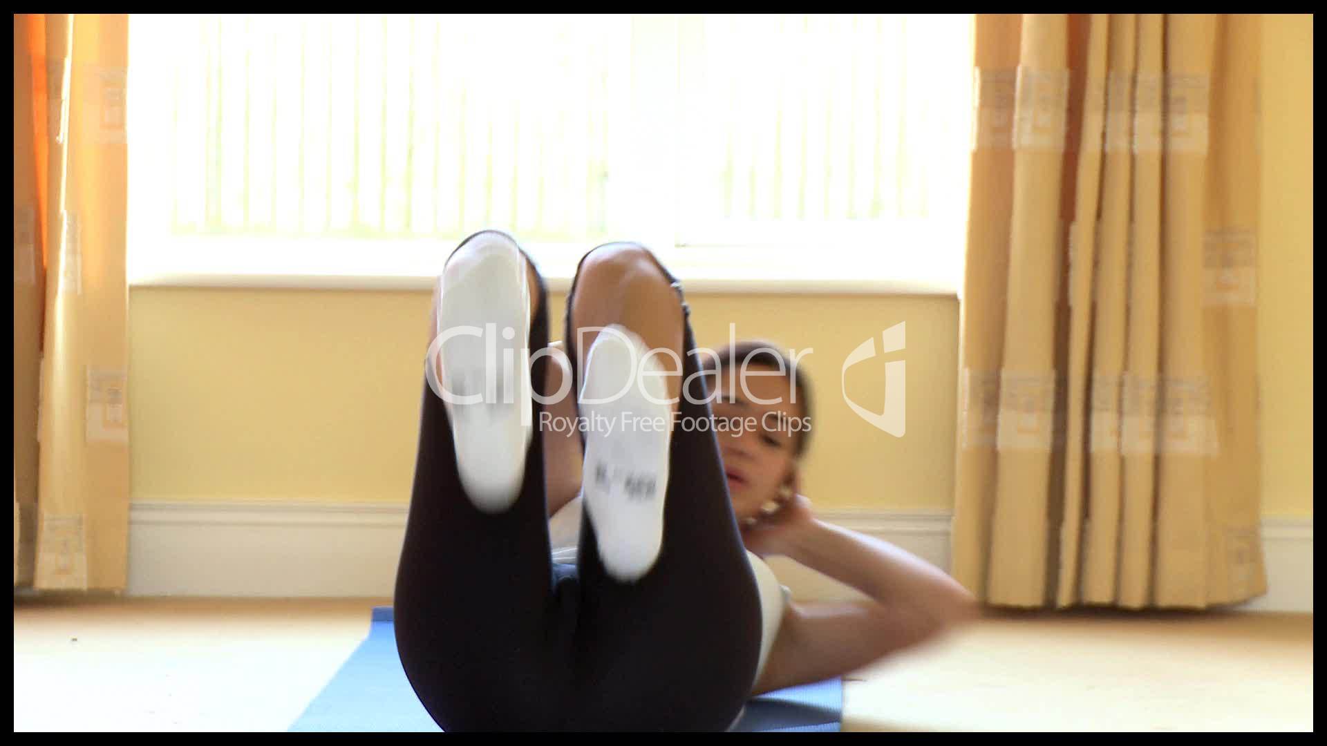
| Beschreibung: | Zusammenschnitt verschiedener Videos über eine gesunde Lebensweise. |
Nutzungslizenz
| Nutzungsrecht: | Kommerzielle und redaktionelle Nutzung |
| Modelrelease: | vorhanden |
| Propertyrelease: | nicht vorhanden |
Userinfos
| Hinzugefügt von: | SeanPrior |
| Weitere Medien von SeanPrior |
Bewertung
| Bewertung: |
|
Suchbegriffe
| Keywords: |


Clips


